Resources
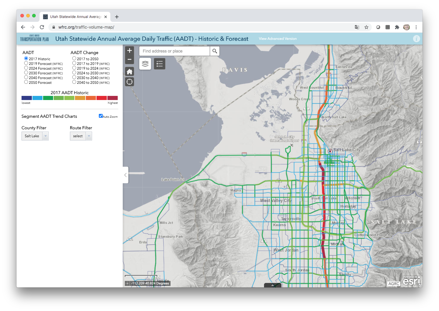
Maps
Browse interactive regional maps to visualize land use, transportation, and community data.
Learn More
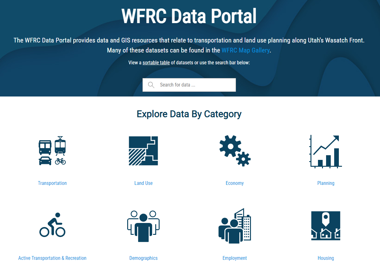
Data
Access key datasets and statistics that inform planning and decision‑making across the Wasatch Front.
Learn More

Performance Measures
Review how the region is tracking toward its goals through measurable indicators.
Learn More

Models and Forecasting
Explore the planning models and future projections used to support regional growth and infrastructure decisions.
Learn More

Studies
Learn how in‐depth regional studies help identify challenges and recommend strategies for transportation, land use, and economic development.
Learn More

Air Quality Conformity & Trends
Stay informed about air quality trends and how transportation planning supports cleaner air.
Learn More
Resources Library
Discover reports, publications, and tools that summarize and support the work of WFRC.
Learn More
Contact Us
Connect with us to ask questions, share feedback, or learn more about our work.